Terrestrial Ecosystem Carbon Inventory Satellite (TECIS) Mission

Launch Status
Success
Date & Time
4 Aug 2022, 3:08am
UTC
Location

Pad
Launch Complex 9
Launch Service Provider

Vehicle
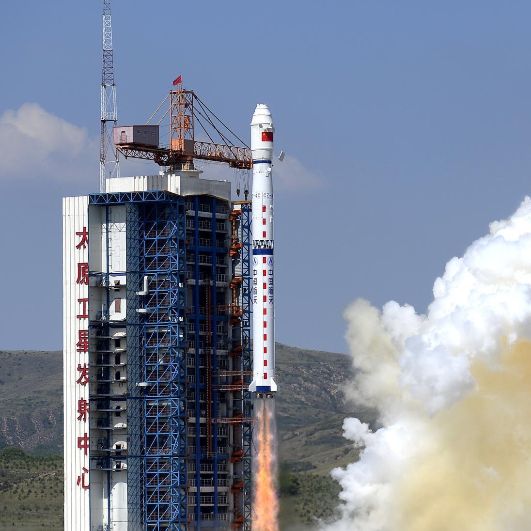
Mission
Terrestrial Ecosystem Carbon Inventory Satellite (TECIS)
Mission Type
Earth Science
Destination
Sun-Synchronous Orbit
Note: Launch vehicle and payload uncertain. The Terrestrial Ecosystem Carbon Monitoring Satellite (TECIS) is intended to evaluate forest biomass, measure atmospheric aerosol content, and detect photosynthetic fluorescence. These measurements will contribute to efforts to combat global warming. The satellite carries 4 instruments: Multi-Beam LIDAR, Directional Multi-Spectral Camera, Directional Polarization Camera, and Chlorophyll Fluorescence Hyper-Spectral Monitor (SIFIS) The satellite will operate in a sun-synchronous orbit at a height of 506 km, at 10:30 AM local time in the descending mode, with a designed lifetime of 8 years.
Updated: Jan 3, 8:04pm UTC
🔔 Set up an email alert for upcoming launches
Get a weekly email containing all launches scheduled for the coming week.


