Rocket Lab Launch Complex 1 Launch Schedule
Stay updated on Rocket Lab Launch Complex 1's rocket launches with our real-time schedule. You can see 55 planned space missions on our website. Watch the live stream of any Rocket Lab Launch Complex 1 rocket launch happening today.

Launch Service Provider

Vehicle
Mission
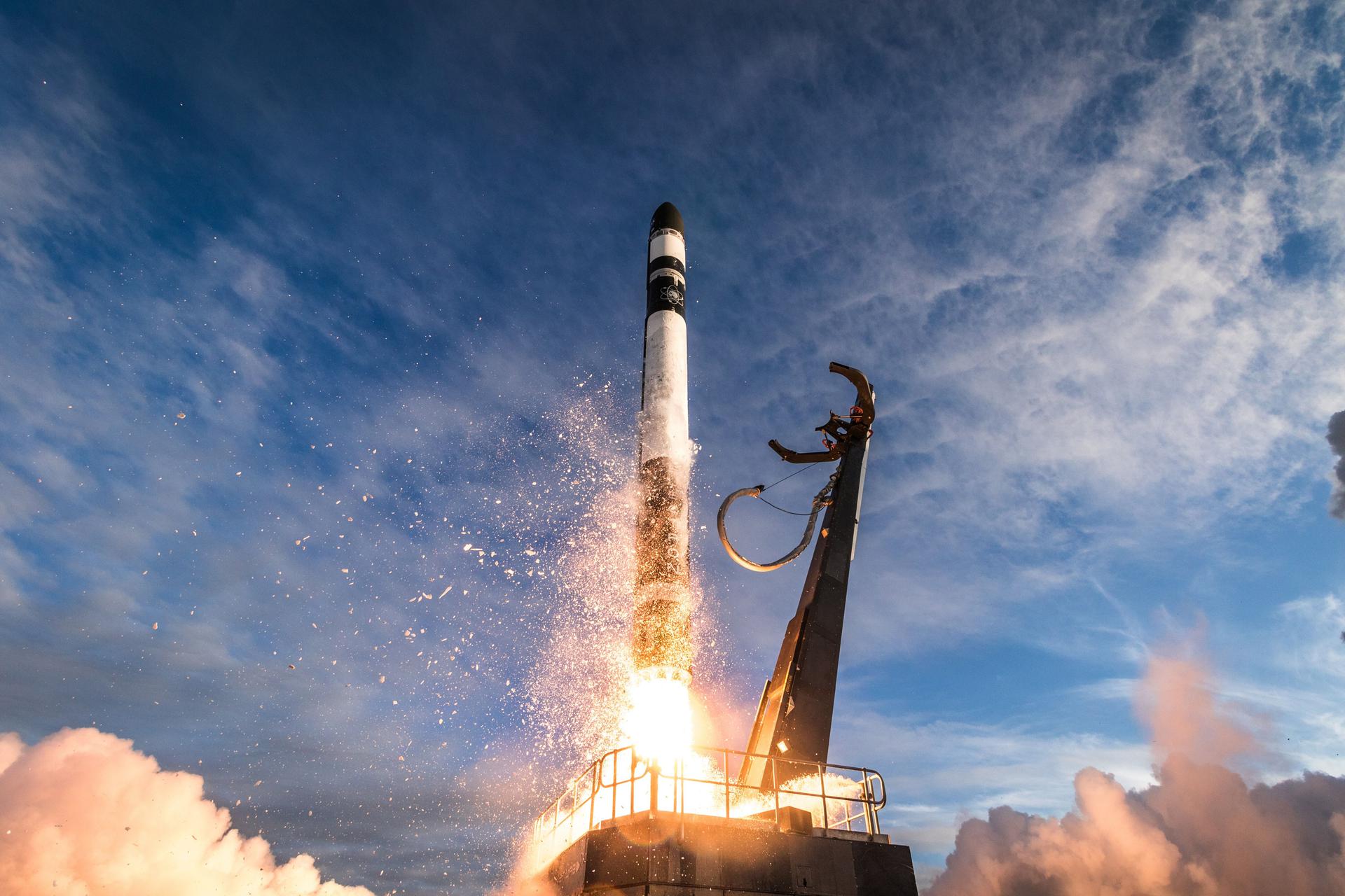
We're Not Hawking Around (3x HawkEye 360)
Mission Type
Destination
HawkEye 360 is a a space-based civil global intelligence satellite network using radio frequency (RF) technology to help monitor transportation across air, land and sea and assist with emergencies, and to provide civil SIGINT (Signal Intelligence) mission. The constellation of small satellites (named Hawk ) will collect information on specific radio signals worldwide to provide high-precision radio frequency mapping and analytics from Low Earth orbit (LEO).
Last Update: GO for launch.
🔔 Set up an email alert for upcoming launches
Get a weekly email containing all launches scheduled for the coming week.
Upcoming Rocket Lab Launch Complex 1 Launches
Synthetic aperture radar Earth observation satellite for Japanese Earth imaging company iQPS.
Last Update: NET November 4.
Synthetic aperture radar Earth observation satellite for Japanese Earth imaging company iQPS.
Last Update: NET November 10.
TBD
2026
Synthetic aperture radar Earth observation satellite for Japanese Earth imaging company iQPS.
Updated: Oct 12, 3:00pm UTC
TBD
2026
LOXSAT 1 is a demonstration satellite of a complete cryogenic oxygen fluid management system in orbit, developed by Eta Space and sponsored by NASA's Tipping Point program. The system will be integrated on a Rocket Lab Photon-LEO satellite bus and collect critical cryogenic fluid management data in orbit for 9 months, demonstrating capabilities of in-space cryogenic storage and transferal. Eta Space plans to use technology developed for this mission to develop a truly commercial depot intended to serve multiple customers in the future.
Last Update: NET July 17.
TBD
2026
BlackSky Gen-3 Earth-imaging satellites
Updated: Oct 12, 11:30pm UTC
TBD
2026
BlackSky Gen-3 Earth-imaging satellites
Updated: Oct 15, 12:01pm UTC
TBD
2026
BlackSky Gen-3 Earth-imaging satellites
Updated: Oct 15, 8:30pm UTC
TBD
2026
BlackSky Gen-3 Earth-imaging satellites
Last Update: NET Q3.
TBD
Jan 2027
Aspera houses an ultraviolet telescope and will examine hot gas in the intergalactic medium, thought to be contributing to the birth of stars and planets. Aspera will be the first NASA astrophysics mission to gather and map these ultraviolet light signatures, potentially unlocking a deeper understanding of the origins of stars, planets, and life in the universe.
Last Update: NET January 29.
TBD
Mar 2027
The Total and Spectral Solar Irradiance Sensor 2 (TSIS-2) is a satellite designed by NASA to measure the Sun's energy input to Earth. TSIS-2 comprises two instruments, the Total Irradiance Monitor (TIM), and the spectral Irradiance Monitor (SIM). TIM measures total brightness and SIM measures spectral irradiance over a wavelength range that includes 96% of the energy in the solar spectrum. Both instruments are similar to those used for the TSIS-1 mission onboard the International Space Station.
Last Update: Launch moved to flying on Electron, NET early 2027.
TBD
Jun 2027
The PoISIR (Polarized Submillimeter Ice-cloud Radiometer) mission will help provide a better understanding of ice clouds that form at high altitudes throughout tropical and subtropical regions. Consisting of two small satellites, both of PoISIR’s 16U CubeSats have a scientific instrument designed to measure a specific spectrum of electromagnetic radiation, which will determine how the amount of ice in tropical clouds rises and falls during the day, as well as how the ice changes connect to larger storms. The instruments also will help determine how ice clouds affect sunlight and heat radiation throughout the day. The pair of CubeSats will fly in orbits separated by several hours to observe the pattern of cloud ice content changes over a day. This information will help researchers make more accurate weather predictions.
Updated: Jul 2, 11:01am UTC
TBD
Jun 2027
The PoISIR (Polarized Submillimeter Ice-cloud Radiometer) mission will help provide a better understanding of ice clouds that form at high altitudes throughout tropical and subtropical regions. Consisting of two small satellites, both of PoISIR’s 16U CubeSats have a scientific instrument designed to measure a specific spectrum of electromagnetic radiation, which will determine how the amount of ice in tropical clouds rises and falls during the day, as well as how the ice changes connect to larger storms. The instruments also will help determine how ice clouds affect sunlight and heat radiation throughout the day. The pair of CubeSats will fly in orbits separated by several hours to observe the pattern of cloud ice content changes over a day. This information will help researchers make more accurate weather predictions.
Updated: Jul 2, 6:00am UTC
TBD
2027
Synthetic aperture radar satellite for Japanese Earth imaging company Synspective.
Updated: Aug 2, 12:00pm UTC
TBD
2027
Synthetic aperture radar satellite for Japanese Earth imaging company Synspective.
Updated: Aug 2, 12:00pm UTC
TBD
2027
Synthetic aperture radar satellite for Japanese Earth imaging company Synspective.
Updated: Aug 2, 12:00pm UTC
TBD
2027
Synthetic aperture radar satellite for Japanese Earth imaging company Synspective.
Updated: Oct 4, 3:00am UTC
TBD
2028
Synthetic aperture radar Earth observation satellite for Japanese Earth imaging company iQPS.
Updated: Apr 18, 4:00pm UTC
TBD
2028
Synthetic aperture radar Earth observation satellite for Japanese Earth imaging company iQPS.
Updated: Apr 17, 2:30am UTC
TBD
2028
Synthetic aperture radar Earth observation satellite for Japanese Earth imaging company iQPS.
Updated: Apr 16, 5:00pm UTC
TBD
2028
Synthetic aperture radar Earth observation satellite for Japanese Earth imaging company iQPS.
Updated: Aug 6, 3:00pm UTC
TBD
2028
Synthetic aperture radar Earth observation satellite for Japanese Earth imaging company iQPS.
Updated: Aug 6, 3:00pm UTC
TBD
2028
Synthetic aperture radar Earth observation satellite for Japanese Earth imaging company iQPS.
Updated: Aug 6, 3:00pm UTC
TBD
2029
Four space situational awareness (SSA) satellites for Canadian company NorthStar Earth and Space.
Last Update: Pushed into 2020s TBD due to satellite operator and manufacturer getting into court case on contract delivery details and problems with the first 4 satellites.
TBD
2029
Four space situational awareness (SSA) satellites for Canadian company NorthStar Earth and Space.
Last Update: Pushed into 2020s TBD due to satellite operator and manufacturer getting into court case on contract delivery details and problems with the first 4 satellites.